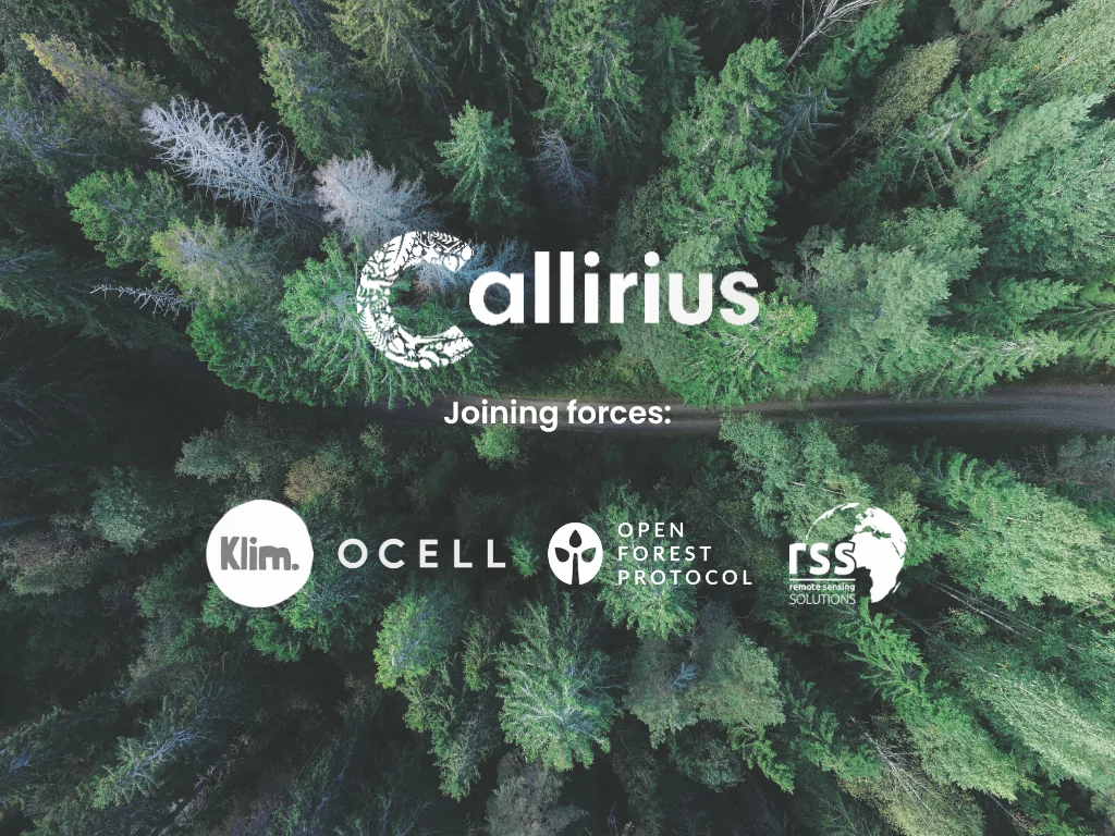
EXCELLENCE IN SPATIAL MAPPING AND SATELLITE MONITORING
RSS - Remote Sensing Solutions is one of Germany’s leading value-adding companies in Earth Observation. Our services include satellite image processing, thematic mapping, environmental monitoring and spatio-temporal analyses. All our work is built upon cutting-edge remote sensing technology and advanced geographic information systems (GIS). With 20 years of trusted, successful business, your endeavor is in excellent hands at RSS.
Consulting
When it comes to services, we make quality, technological excellence and customer satisfaction our unvarying priority. Our extensive service portfolio focuses on quality, technological excellence and customer satisfaction.
We look forward to assisting you with everything from project development to map product provision, data processing and more.
To find out more, please select a theme.

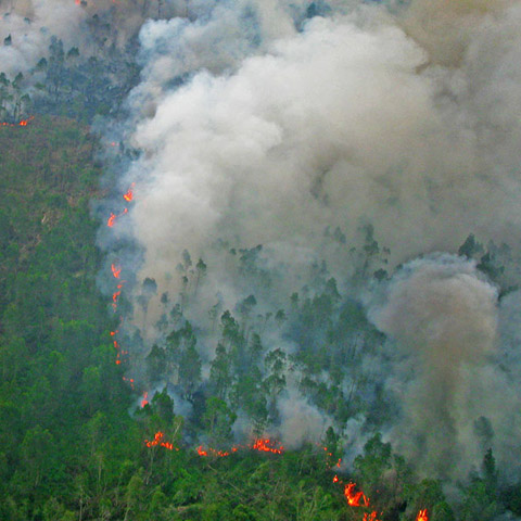

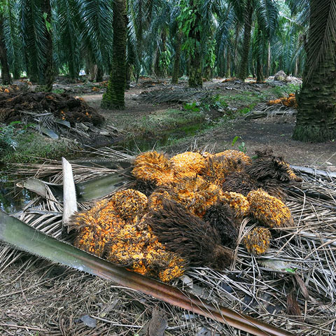
THE REDD+ & CARBON MAPPING EXPERTS
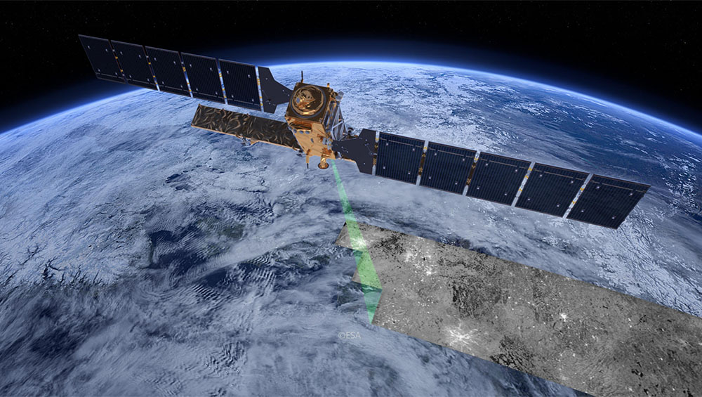
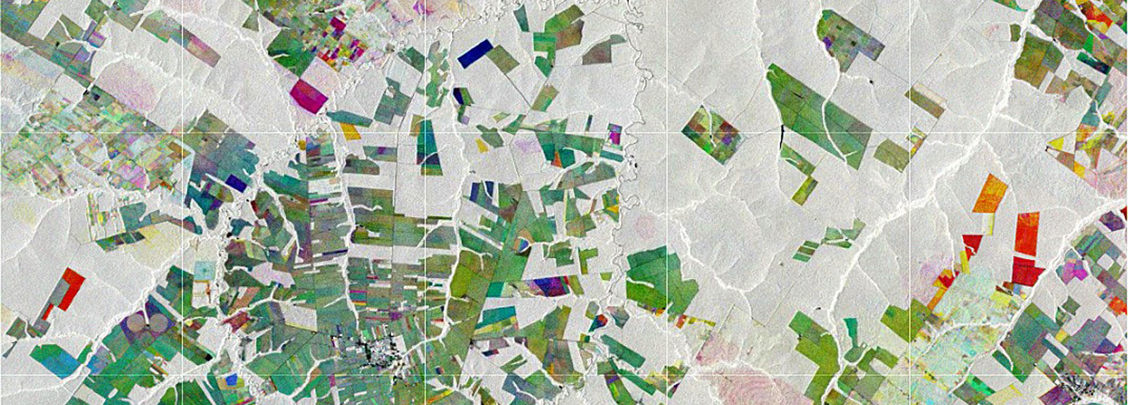
Satellites
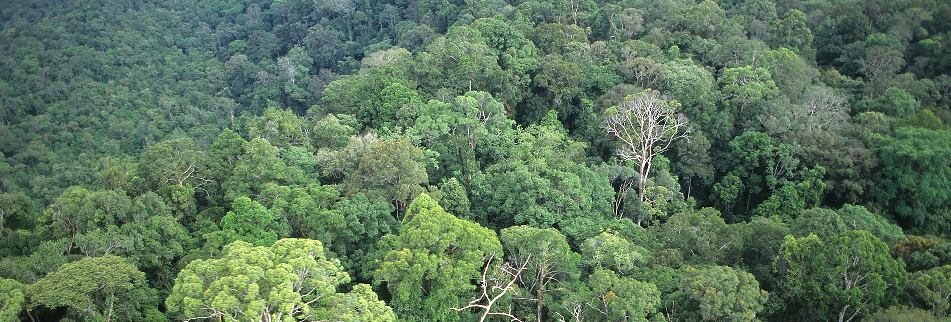
Satellites are an indispensable source of data for large scale and global applications. Sensor technology is rapidly developing and includes a long history of multispectral and SAR satellites, modern additions like the Copernicus fleet, air and space borne laser scanning devices (LiDAR) and more recently drones and small airplanes. We use specialized software and artificial intelligence and deep learning algorithms to analyze and to provide quantitative information on our planet as a dynamic system and it’s changing environment.
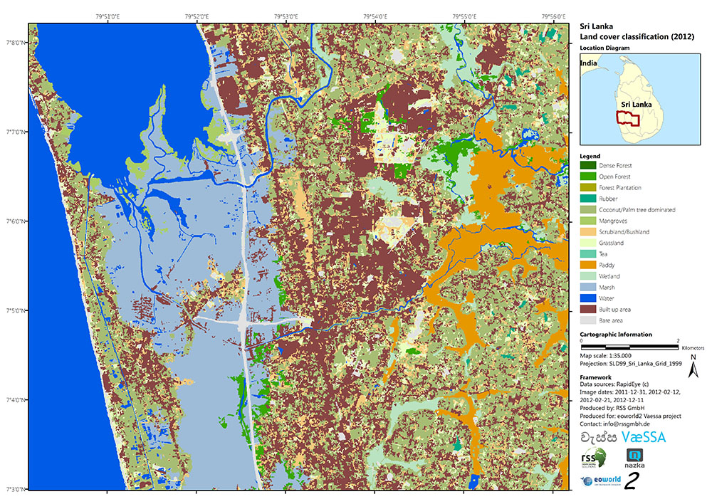
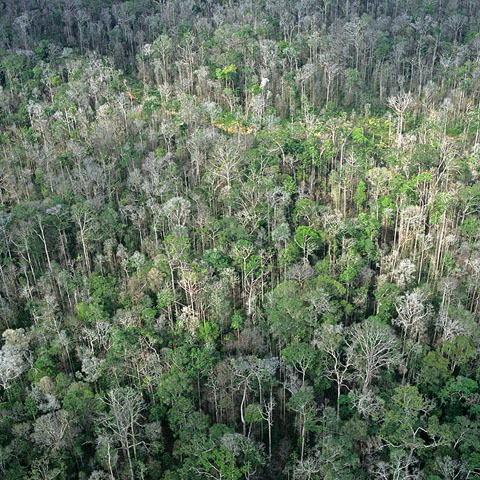
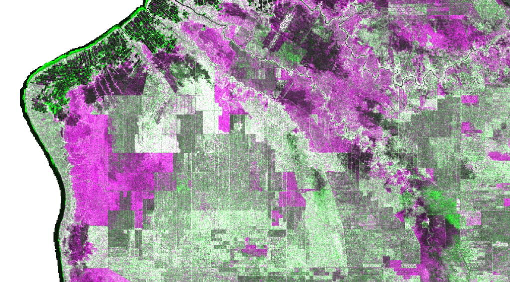
SPATIAL ANALYSIS & GIS
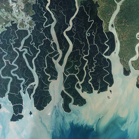
New information products can be derived by a combined analysis of geospatial data from satellites and other thematic backgrounds that assist in practical decision making. Imagery from satellites combined with vector data that represents Earth system features are analyzed in Geographic Information Systems (GIS) and data science frameworks. We use data-driven approaches to help to better understand and communicate complex processes in ecosystems.
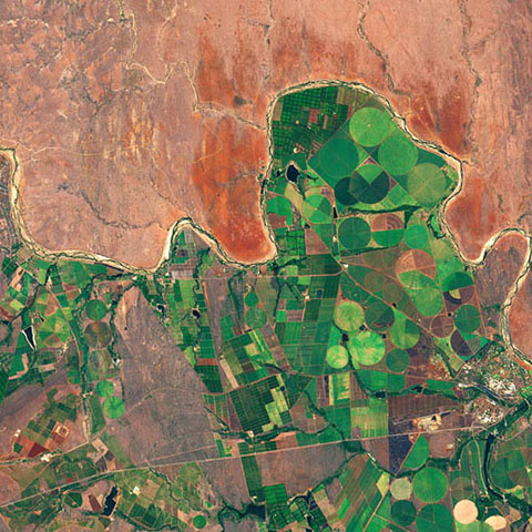
CLOUD-COMPUTING &
Machine Learning
Automatization through AI and CLOUD-COMPUTING
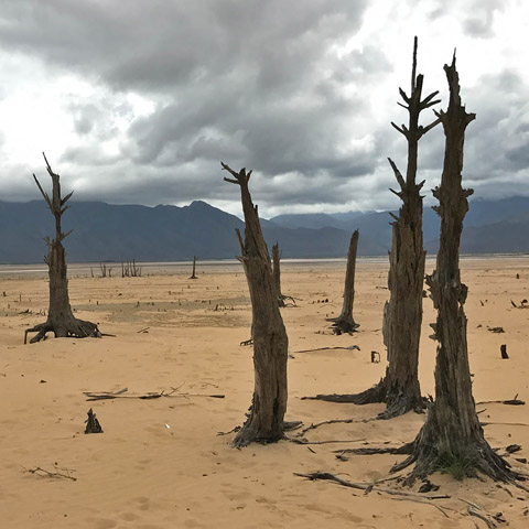
The global remote sensing technology market is growing fast with data freely available and a variety of satellites observing the Earth every day. Imagery is becoming available at more regular intervals and in larger quantities allowing to explore big-picture questions which were impossible to tackle before. Especially events and processes that occur over brief periods such as natural disasters, or those that deal with slow changes over long periods of time such as agricultural expansion or the permanent loss of water resources.
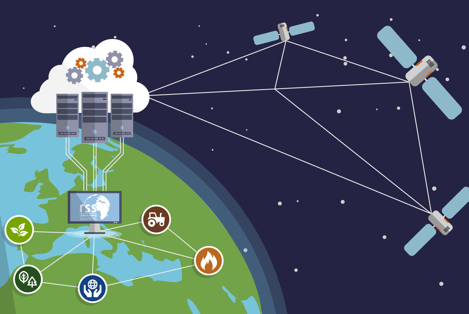
The mass of data requires huge computational facilities and intelligent self-learning algorithms. We provide cloud-based and server-based solutions for automated data processing and deep learning algorithms to for efficient and fast data processing and analysis.
CUTTING-EDGE
RESEARCH
RESEARCH
RSS is actively involved in numerous research projects and strives to use the latest methods and technology available. We are involved in research projects of the German Aerospace Center (DLR) and the European Space Agency (ESA) to develop and validate applications for new satellite systems. Another focus of our research as fast and efficient data processing and big data analyses using cloud computing environments.
20 years’ experience in over 25 countries
Our Customers

Consulting


When it comes to services, we make quality, technological excellence and customer satisfaction our unvarying priority. To find out more, please select a theme - we look forward to assisting you.